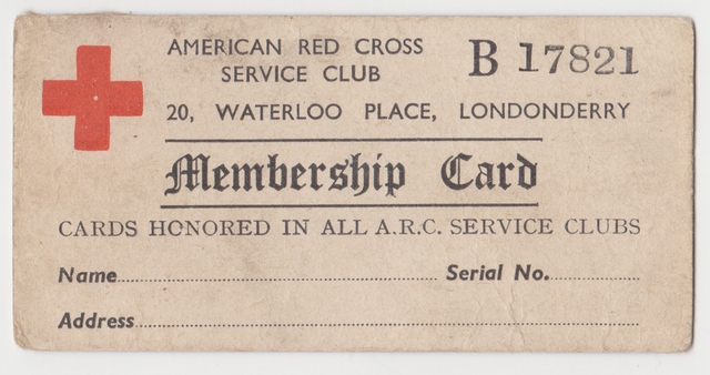
The American Red Cross in Northern Ireland during the Second World War
To coincide with the 80th anniversary of the Belfast American Red Cross club’s official dedication in October 1942, the Northern Ireland War Memorial will launch a new book, The American Red Cross in Northern Ireland during the Second World War by historian Clive Moore.
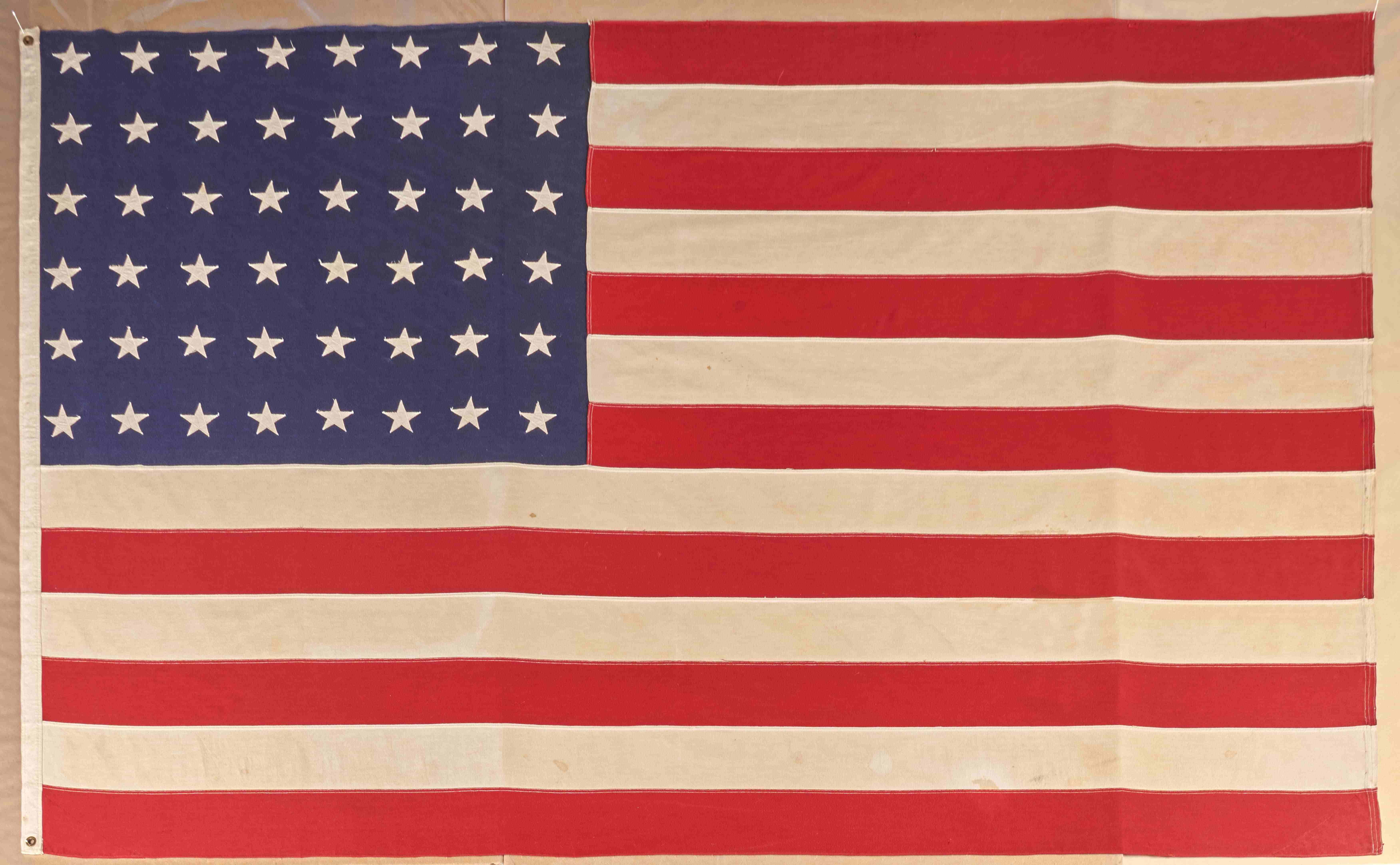
US80 - Flag Donation
In advance of US80, we were pleased to accept the timely donation in December 2021 of a large American flag that was flown from the American Red Cross Club on Chichester Street, Belfast.
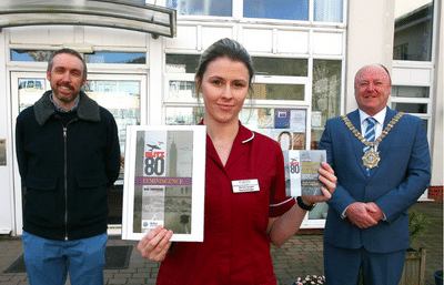
Ulster University's Museums, Crisis and Covid-19 Project
Ulster University's Museums, Crisis and Covid-19 project has recently published its final reports with input from the Northern Ireland War Memorial Museum.
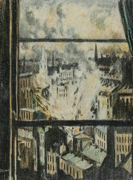
New Acquisition
The NI War Memorial is very pleased to announce the recent acquisition of Bombs Falling on Belfast, April 16th 1941 by local artist William Conor.
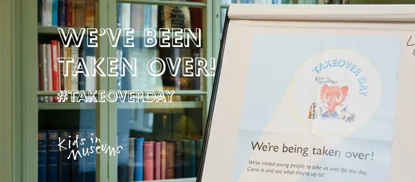
Kids in Museums Takeover Day 2022
We're being taken over!
We're excited to be taking part in Kids in Museums annual Takeover Day 2022.
Read on to find out more
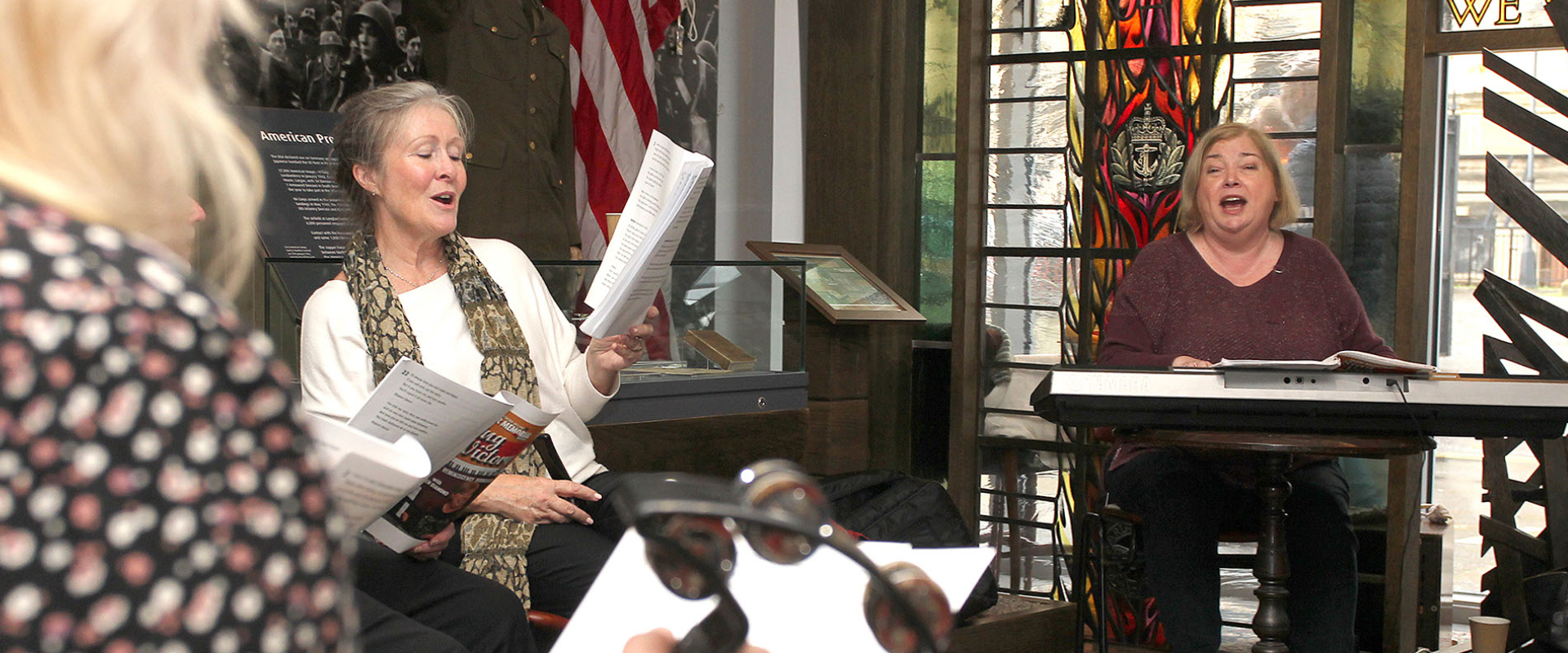
Arts Council NI Grant
We are delighted to announce that the NIWM has been awarded a grant from the Arts Council of Northern Ireland's Arts & Older People Programme.
Read on to find out more
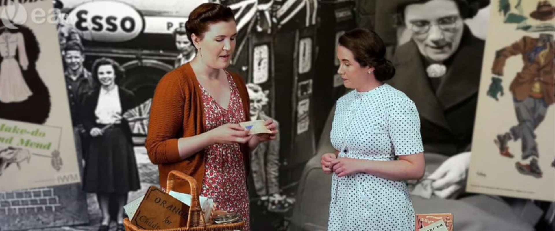
NIWM on C2K Newsdesk
Watch our programme all about rationing during the Second World War with C2K Newsdesk.
New Acquisition - Firemen, After the Blitz, Belfast
The NI War Memorial is very pleased to announce the recent acquisition of Firemen, After the Blitz, Belfast by local artist William Conor.
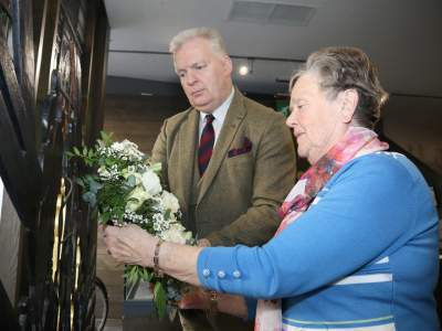
Belfast Blitz Commemorations 2023
In April and May 2023, the Northern Ireland War Memorial marked the anniversaries of the air raids on Northern Ireland with three commemorations. Members of the public were invited to attend to pay their respects and to remember those who were killed as a result of enemy action in April and May 1941.

Saving Sheila the Elephant
On Saturday 22 April 2023, NIWM marked Earth Day with the opening of a new exhibition, Saving Sheila the Elephant; a collection of artworks created by local primary school children in Belfast who have participated in a project funded by #TheWildEscape and supported by the Northern Ireland Museums Council.
Read on to find out more
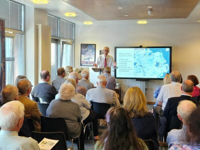
AGM 2023
In June 2023, we hosted our AGM with trustees, council members and invited guests. We reflected on 2022 which was a busy and successful year for the NIWM.
Read on to find out more
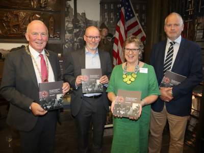
Book Launch of 'The American Red Cross in Northern Ireland'
On Thursday 14 September 2023, the Northern Ireland War Memorial hosted the book launch of The American Red Cross in Northern Ireland during the Second World War, a Northern Ireland War Memorial publication by Clive Moore.
On Friday 1 December 2023, the NIWM hosted a second launch of the same title at the Guildhall in Derry/Londonderry.
Read on to find out more
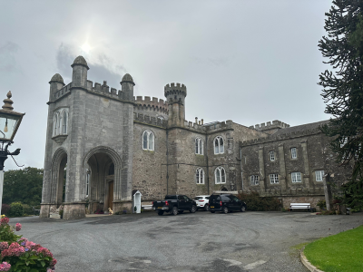
NIWM visit to Killymoon Castle
Every year the museum organises an away-day for Trustees and Staff, and this year, Killymoon Castle was the chosen location as it was home to US soldiers from the 505th Parachute Infantry Regiment of the 82nd Airbourne Division from 1943-44.
Read on to find out more
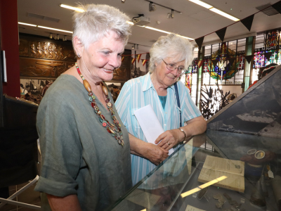
Five Ways to Wellbeing on World Mental Health Day
This #WorldMentalHealthDay, we've come up with some ways to improve your mental health by following the Five Ways to Wellbeing.
Read on to find out more
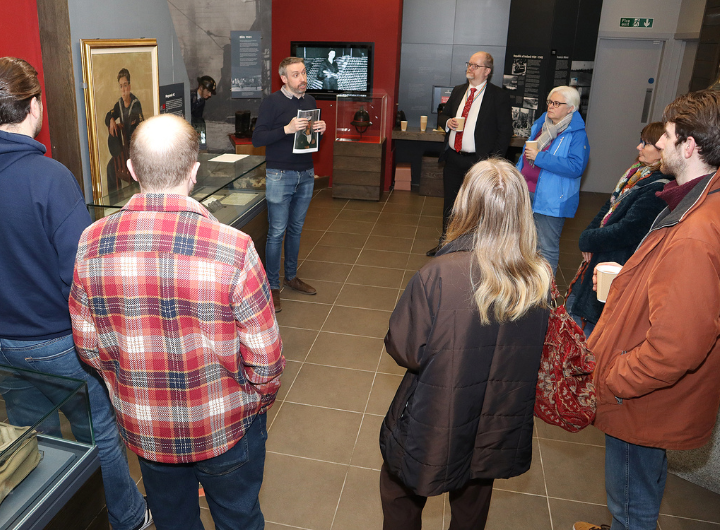
Accreditation
We’re delighted to announce that we’ve maintained Full Accreditation!
Read on to find out more
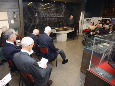
Armistice 2023
On Friday 10 November 2023, the Northern Ireland War Memorial held a short Act of Remembrance to mark Armistice Day 2023.
Read on to find out more
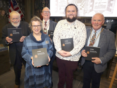
Book Launch of 'Honouring the Fallen and Serving the Living'
On Thursday 16 November 2023, the Northern Ireland War Memorial hosted the launch of Honouring the Fallen and Serving the living; The History of the Northern Ireland War Memorial, a Northern Ireland War Memorial publication by Michael Burns.
Read on to find out more
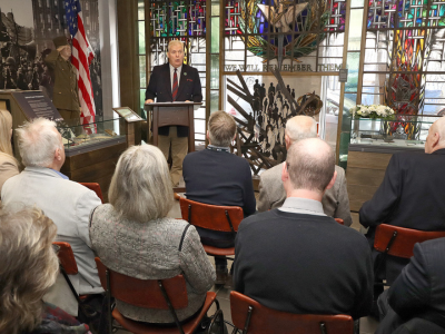
Belfast Blitz Commemorations 2024
In April and May 2024, the Northern Ireland War Memorial (NIWM) marked the anniversaries of the air raids on Northern Ireland with three commemorations. Members of the public were invited to attend to pay their respects and to remember those who were killed as a result of enemy action in April and May 1941.
Read on to find out more
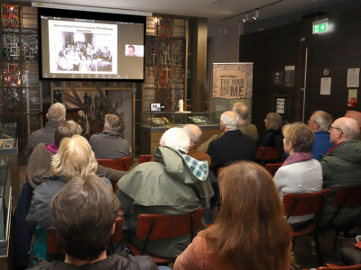
Holocaust Memorial Day 2025
On Monday 27 January 2025, the Northern Ireland War Memorial held a special event to mark Holocaust Memorial Day 2025.
Read on to find out more
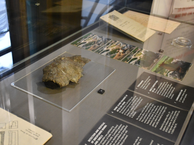
Rivenwood Bomb fragments donated to the NIWM
Some important pieces of Second World War history have been donated to the NIWM collection.
Read on to find out more
Museum Manager Recruitment
The Northern Ireland War Memorial (NIWM) is recruiting a Museum Manager.
Read on to find out more and for information on how to apply.


